Map 7 · Partition and history
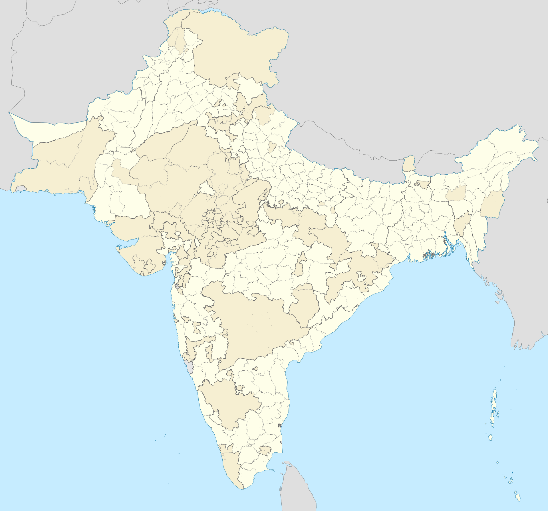
British India, districts and states, 1941
- Region
- British India, Census 1941
- Data
- geoBoundaries ADM3 sub-districts of India, Pakistan and Bangladesh, each assigned to its 1941 unit, then merged.
- Rule
- Blank map in Wikimedia Commons style. Province areas come within about 3% of the 1941 census.
A blank map in the style of Wikimedia Commons location maps: 227 districts of the British provinces, 49 princely states and 13 groups of smaller states, 8 tribal agencies, and the French and Portuguese possessions, as at the 1941 census. Princely states are tinted; thick lines are provinces and agencies.
Indus AtlasFree to reuse with credit · CC BY-SA 4.0indusatlas.vercel.app
Hover or tap a district or state to see its name.
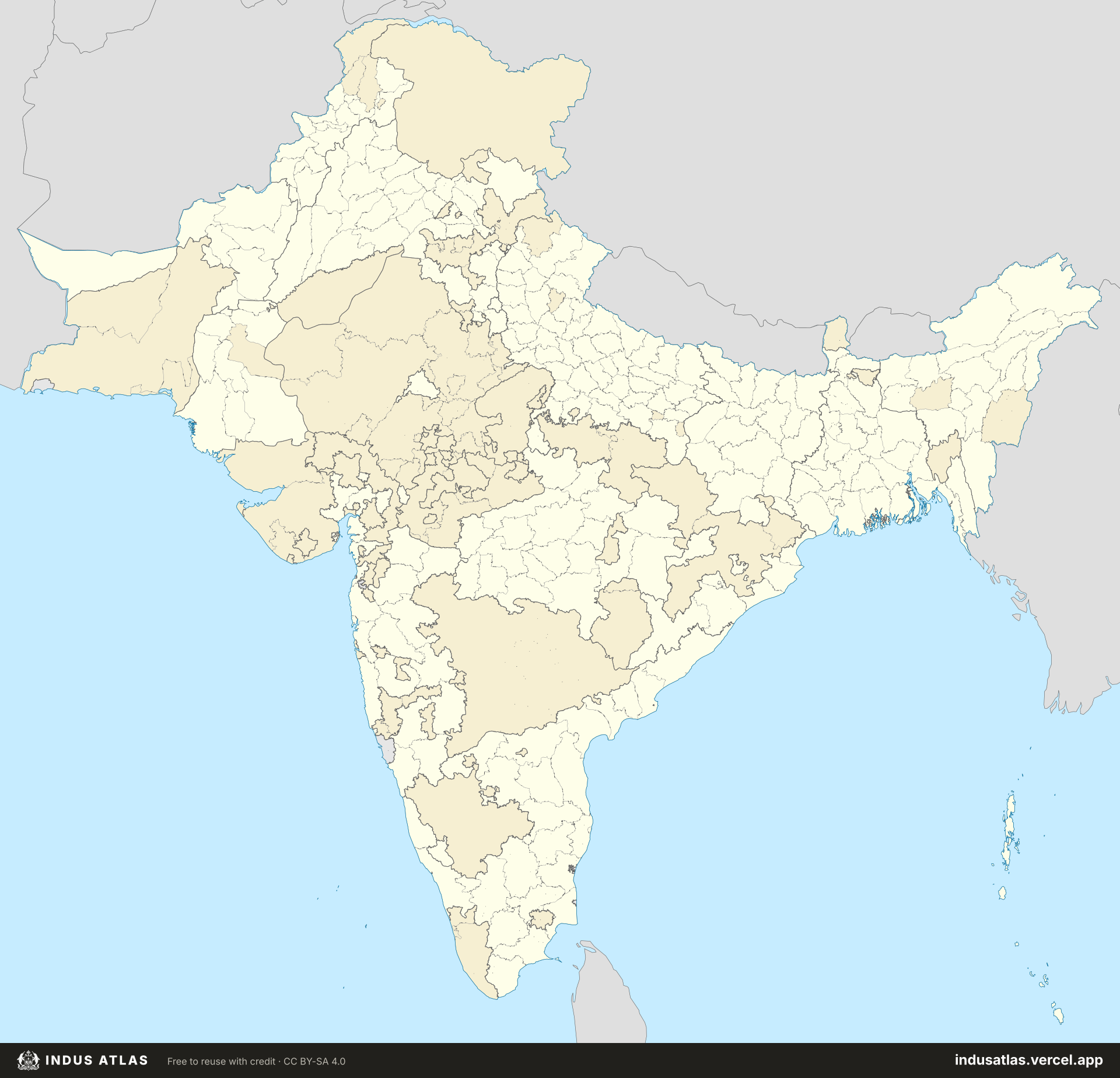
The map is rebuilt from today’s 7,920 sub-districts of India, Pakistan and Bangladesh, each assigned to the 1941 unit it lay in, then merged. Where a modern line cuts across an old one, the border follows the modern line, so small offsets remain. Province areas come within about 3% of the 1941 census (Punjab 98,300 sq mi against 99,089; Madras 123,100 against 126,166; Hyderabad 81,000 against 82,313). Jammu and Kashmir is drawn with its full 1941 extent. Panth-Piploda, about 25 sq mi of scattered villages, is too small to draw.
All units
Every unit on the map. Select a row to find it on the plate.
306 units
| about 87,012 | |
| about 81,044 | |
| about 51,435 | |
| about 34,667 | |
| about 29,281 | |
| about 25,503 | |
| about 24,564 | |
| about 23,141 | |
| about 19,096 | |
| about 17,876 | |
| about 17,366 | |
| about 17,313 | |
| about 17,104 | |
| about 16,257 | |
| about 15,923 | |
| about 14,740 | |
| about 14,521 | |
| about 13,614 | |
| about 13,264 | |
| about 13,159 | |
| about 12,891 | |
| about 12,880 | |
| about 12,616 | |
| about 10,888 | |
| about 10,876 | |
| about 10,513 | |
| about 10,487 | |
| about 10,479 | |
| about 10,201 | |
| about 10,040 | |
| about 9,659 | |
| about 9,409 | |
| about 9,237 | |
| about 8,856 | |
| about 8,805 | |
| about 8,628 | |
| about 8,356 | |
| about 7,925 | |
| about 7,869 | |
| about 7,778 | |
| about 7,767 | |
| about 7,705 | |
| about 7,570 | |
| about 7,503 | |
| about 7,308 | |
| about 7,256 | |
| about 7,147 | |
| about 7,053 | |
| about 7,046 | |
| about 6,917 |
Sources
- British India: geoBoundaries ADM3 for India, Pakistan and Bangladesh, regrouped to 1941 units after the Census of India 1941 and the Imperial Gazetteer of India.